
New Mexico ZIP Code Coverage Examples
The research supplies grouped ZIP families and broad service areas, not a complete USPS export or an individual post-office match for every code. The examples below preserve those groupings. They are a starting set for checking, not a complete list of every New Mexico ZIP code, PO-box assignment, or special-use code. Ask USPS for the preferred city and delivery type for each specific address.
| ZIP | Areas Covered | Post Office or Service Area | Notes |
|---|---|---|---|
| 87001-87002, 87004-87008, 87010-87013, 87015-87018 | Albuquerque metro and central communities, including Bernalillo, Belen, Corrales, Edgewood, Los Lunas, Moriarty, Placitas, Rio Rancho-adjacent areas, Sandia Park, and Tijeras | Central New Mexico post-office areas listed in the research | ZIP and city labels can diverge; check each result with USPS. |
| 87101-87125, 87131-87132, 87144 | Albuquerque delivery area | Albuquerque service area | Some entries are PO-box, unique, or special-use; verify each code. |
| 87501-87508, 87510-87512, 87517-87518 | Santa Fe, Española, Los Alamos, Taos-area communities, and nearby rural routes | Santa Fe and north-central New Mexico post-office areas | The USPS preferred city may differ from an incorporated place. |
| 87594-87595, 87596-87597 | Santa Fe-area special-use or institutional assignments | Santa Fe-area special-use or PO-box assignments | Confirm delivery type and facility with USPS. |
| 87701-87714, 87718-87722, 87724-87729 | Las Vegas, Raton, Springer, Mora, and northeastern communities | Northeastern New Mexico service areas | Historic town and rural-route names may differ from municipality names. |
| 87801-87832, 87835-87839 | Socorro, Truth or Consequences, Magdalena, Reserve, and south-central communities | South-central New Mexico service areas | County and city lines can diverge across rural ZIP coverage. |
| 88001-88013, 88020-88027, 88029-88034 | Las Cruces, Alamogordo-area, Silver City, Deming, Lordsburg, Hatch, and southern communities | Southern New Mexico post-office areas | Doña Ana GIS can help locate parcels, but USPS sets delivery ZIPs. |
| 88101-88103, 88112-88126, 88130-88136 | Clovis, Portales, Tucumcari-area, and eastern communities | Eastern New Mexico service areas | Rural and PO-box service needs a separate USPS check. |
| 88201-88203, 88210-88213, 88220-88221 | Roswell, Artesia, Carlsbad, Hobbs, and Lea, Eddy, and Chaves County communities | Southeastern New Mexico service areas | Oilfield and rural addresses can use a post-office name unlike the local place. |
| 88301-88312, 88314-88318, 88321-88325 | Ruidoso, Lincoln County, Otero mountain communities, Carrizozo, Capitan, and nearby rural routes | Mountain and south-central post-office areas | Check the municipality and delivery ZIP separately. |
| 88401-88403, 88410-88411, 88414-88422 | Clayton, Springer, and other northeastern and eastern rural post offices | Rural northeastern New Mexico service areas | PO-box-only and route-specific service needs individual checking. |
These rows summarize geographic groupings in the research; they do not certify each number as current, residential, or tied to the exact town named in the same row. The research also flags 87600-87601 as unverified, so those numbers are left out. Do not fill a gap by counting upward through a numeric range. USPS controls delivery assignments, including PO-box-only and unique institutional codes.
New Mexico ZIP Codes Need USPS Checks
USPS is the source for the current delivery ZIP and preferred city, not a county map or a municipal address list. The USPS ZIP Code Lookup can check a street address or a city and state. Preserve the exact returned city line and the date you checked it. A broad city search may show multiple post-office results, so match the address or facility rather than choosing the first name that looks familiar.
For a result, record the fields that distinguish a delivery point from a broad area label. The research calls for the entered address or city/state query, standardized delivery address, returned city and state, ZIP Code and ZIP+4 when available, delivery-point type, alternate or preferred city names, and any no-result message.
| USPS result item | What to keep |
|---|---|
| Search entered | Street address, or the city and state query used. |
| Standardized address | The returned delivery line, including any unit data shown. |
| City and state | The preferred last-line city returned by USPS, with any alternate city labels. |
| ZIP and ZIP+4 | Keep the ZIP Code and the four-digit add-on only when USPS returns it. |
| Delivery type or facility | Note whether the response is for a delivery point, PO box, city match, or special-use assignment. |
| Result status | Save an address-not-found message and the date of verification. |
Open the USPS lookup and query the New Mexico delivery address directly.
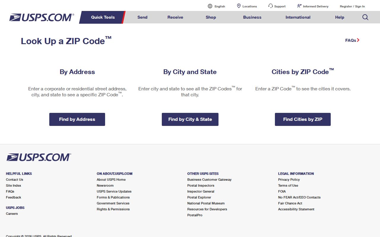
Keep that postal response beside, not in place of, the county's parcel or legal description.
Note: A Census ZIP Code Tabulation Area is a statistical approximation, not an exact carrier route or USPS delivery boundary.
Finding New Mexico Residents ZIP by ZIP
A ZIP-wide resident search is not available in the county tools inspected for this research. Bernalillo's public property interface searches a street or a parcel ID and offers a tax-year control; Doña Ana's map searches an address, parcel ID, or map code. The state voter status tool is person-focused rather than a ZIP-wide list. Use a ZIP to define the area to check, then move to county and address-level records.
- Enter the address or city into USPS and confirm the returned ZIP, preferred city, and delivery type. Treat a PO box or special-use result as a different kind of postal assignment.
- Use a county map or assessor to identify which county holds the parcel. A postal city alone does not identify the taxing or recording office.
- Search street names, addresses, or parcel IDs within that county. Keep a list of the streets or parcels checked so the ZIP search remains bounded and repeatable.
- For a voter question, use the status lookup for a known person or ask the county clerk about public voter-file access, available fields, format, fee, and redactions. Do not treat the status tool as a ZIP roster.
- Compare the dates and locations on the result with another official source, then ask the custodian when the records disagree.
The method keeps postal geography as the first filter. It does not claim that every household in a delivery area appears in assessor, court, or voter records. A parcel search may show an owner, not all people at the address, and election precincts must be checked by the registration address.
Once the ZIP has narrowed the place, the New Mexico street directory follows address-keyed parcel and ownership records one street at a time.
New Mexico County Portals Search by Address
The state does not supply one parcel database for all New Mexico addresses. Taxation and Revenue says users seeking property data for a specific parcel must contact the county assessor. Its GIS pages carry boundary and tax-district material, while parcel ownership remains at the county layer. The available search controls also differ from USPS fields and generally do not accept a statewide ZIP filter.
| Portal | Documented search fields or action | ZIP role |
|---|---|---|
| Bernalillo property search | Number and street; street-only search; parcel ID with wildcard; tax year; sort; Search. | No ZIP filter was documented. |
| Doña Ana County GIS | Address, parcel ID, or map code; omit prefix and suffix for better address matching; a street-only search can return matching properties. | The research documents address search, not ZIP filtering. |
| New Mexico voter status | Person and registration status route; county-file requests go to the clerk or Secretary of State. | It is not a public ZIP-wide resident list. |
New Mexico Taxation and Revenue explains its GIS data and county parcel split. The Bernalillo address atlas can help place an unincorporated address, and the Doña Ana County GIS portal connects map selection to parcel details and assessor records.
The Bernalillo atlas is a reference map, not a legal survey. For an official parcel boundary or a deed's legal description, use the responsible county custodian rather than measuring a map view.
ZIP Labels and New Mexico City Limits
A mailing city is a USPS label, not proof that an address lies inside the named municipality. A delivery area may include unincorporated county land, pueblos, rural routes, annexed areas, or communities whose post-office name differs from the local government name. A parcel's county, city jurisdiction, postal city, and voter precinct are separate fields to check.
Bernalillo County identifies Planning and Development Services as the authority that assigns official addresses in the unincorporated county. Its atlas has address and parcel details but warns that it is for reference. Around Albuquerque and other growing communities, a label can say one city while the parcel falls under a different planning office or county record keeper. Doña Ana's GIS can return a parcel from an address query, but a map result still needs to be checked against USPS for delivery.
- ZIP Code
- A USPS delivery geography. It does not set a city limit, school area, county boundary, or voter precinct.
- ZIP+4
- A four-digit USPS extension when returned for a delivery point; use it only when the USPS result supplies it.
- PO-box ZIP
- A code tied to post-office box delivery rather than a general street-delivery area.
- Unique ZIP
- A special postal assignment associated with a single institution or organization; verify the exact current use with USPS.
- Carrier route
- A postal delivery route within USPS operations. It is not a census area or a legal parcel boundary.
- Situs and mailing address
- The situs is the parcel's physical location; the mailing line is where tax or other correspondence is sent.
For a street or parcel question, use the city or county planning office for address jurisdiction, the county assessor and clerk for parcel and deed records, and USPS for the mailing line. The Census Gazetteer and ZCTA files can support statistical mapping, but they do not replace current postal lookup.
New Mexico Official Address and ZIP Geography
New Mexico uses several overlapping kinds of place names. County address systems, incorporated towns, rural post offices, tribal or pueblo lands, historic plazas, subdivisions, and ZIP labels may point to different jurisdictions. A county-plus-city or postal place name is a useful disambiguation key when a street name repeats, but it does not settle the legal boundary by itself.
The difference is especially clear in Bernalillo County: the county's Planning and Development Services assigns official addresses in unincorporated areas, while its atlas cautions that map features are not legal descriptions. The state's Taxation and Revenue GIS can show boundary and tax-district data, but the department directs people to county assessors for parcel details. That county-first split is a useful geography check before following a resident's property record.
Doña Ana County provides another mapped route: its instructions say an address search can highlight a parcel, a parcel ID can open a property photo when available, and a map code can lead to the assessor result. Those tools locate county data; USPS remains the source for preferred postal city and delivery ZIP. Keep both results with their own dates if they do not line up.
New Mexico ZIP Codes Do Not Set Voter Precincts
A ZIP code is not a voting district. The Secretary of State's status tool uses a person's registration to show precinct or district and voting-location details, while election contests are tied to the physical registration address. A ZIP search cannot tell which ballot applies to a parcel, and a city name in a mailing line should not be used to infer a precinct.
Where public registration information is available after county-clerk acceptance, it may include a registered address, mailing address, party, status, precinct, registration date, and an election-participation indicator. Birth day or month and Social Security number are protected. A participation mark does not disclose a ballot choice. Safe at Home or another protected-voter rule may replace the residential address or limit what is released.
Check the New Mexico My Registration Information tool for a known voter's status and voting-location route. Contact the county clerk or Elections Division for a public-file procedure; ask what data are available, what is redacted, and whether an affidavit or fee applies. The inspected official sources did not state a single statewide file fee or delivery format.
New Mexico PO Box and Unique ZIP Assignments
Not every five-digit ZIP serves street addresses in the same way. Research identifies several Albuquerque entries in the 871 family as PO-box, unique, or special-use assignments, and lists 87594-87595 and 87596-87597 as Santa Fe-area special-use, PO-box, or institutional entries. It does not identify the delivery type for each number individually. Verify the exact code and facility with USPS before using it to describe an address area.
A PO-box code can point to a post office rather than the street where a person lives. A unique institutional code may not represent surrounding households. Neither should be placed in a table as though it covers a neighborhood. When a query returns a PO box, record it as a mailing clue and look to an authorized parcel or county record for the physical situs.
Rural route assignments also need care. Northern and eastern ZIP groupings include smaller towns and rural post offices; a postal label may reflect the office serving the route rather than a municipality. Keep the returned USPS city line, the county holding the parcel, and the place name used by a local government in separate fields.
New Mexico ZIP List and Publication Limits
The grouped families above are not ready to serve as a complete statewide ZIP index. The research calls for a current USPS result set or manual lookup for every postal place, including PO-box-only and unique institutional codes, with post office, preferred city, county, and boundary note. It also says not to infer missing codes from number ranges. The unverified 87600-87601 group is omitted for that reason.
A complete ZIP code directory should keep each USPS-confirmed code as its own row and note when several city names are returned. Use the preferred last-line city as a postal alias, not as proof of an incorporated place. Mark the date of each check, since ZIP assignments and delivery types may change.
For statistical context, a Census ZCTA may be useful, but its polygon is an approximation built for census reporting. It does not map every carrier route or tell a county clerk which parcel book holds a deed. USPS confirms delivery; county records confirm parcels; local government confirms its boundary and address role.
Note: Before describing a New Mexico list as complete, verify every ZIP and delivery type directly with USPS and preserve the returned place names.